
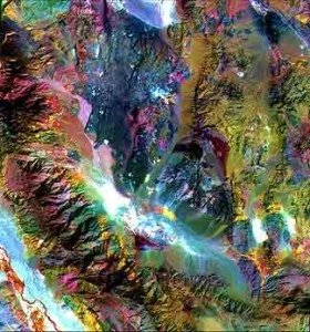
Drone survey and DGPS services for mining, environmental and infrastructure studies
Reliable spatial information helps project teams understand boundaries, terrain, access, surface features and changes over time. P & M Solution supports drone-survey and DGPS assignments used in mining, environmental studies, site planning, mapping and technical documentation.
Where drone survey is useful
Drone imagery can provide a current visual record of a site and support orthomosaic mapping, terrain interpretation, progress documentation, stockpile or disturbed-area review and other project-specific mapping outputs. Flight planning depends on site size, terrain, airspace restrictions, required resolution and the intended use of the data.
DGPS and ground control
DGPS observations can support accurate boundary, control-point and coordinate requirements. The survey method, reference system and deliverables should be defined before field work begins so that the collected data is suitable for the mining plan, technical report, GIS layer or regulatory document in which it will be used.
Typical deliverables
- Site and boundary survey inputs
- Drone imagery and mapped site features
- Ground-control / DGPS coordinate observations
- Topographical or terrain-related mapping inputs
- GIS-ready layers and map sheets where required
- Survey support for mine planning, replenishment and environmental studies
Connected technical services
Survey data frequently feeds into mine plan preparation, replenishment studies and environmental assessment work. Defining the end use first helps avoid collecting data that is technically unsuitable for the final document.